Swedish Maritime Administration begins delivering S-101 – the next step for electronic charts
The first S-100 products are leaving the Swedish Maritime Administration. S-101 will replace S-57, with the aim of covering all of Sweden in the format by year-end.
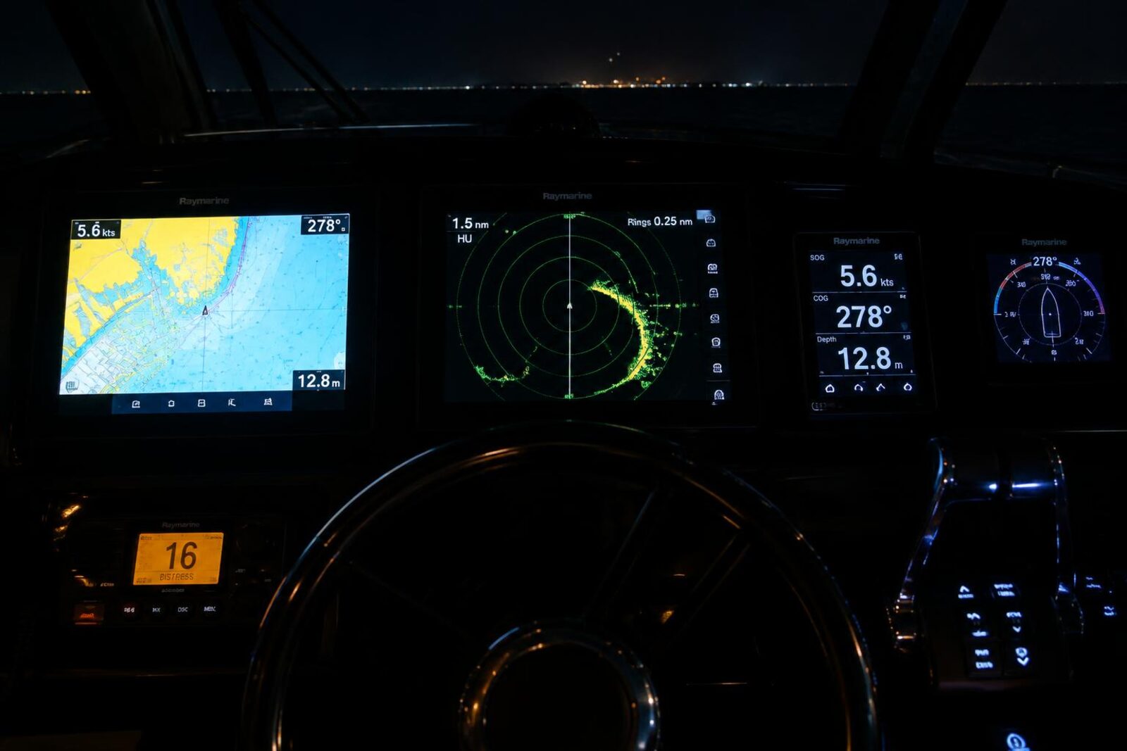
First S-101 deliveries
The Swedish Maritime Administration has begun delivering S-101 to the PRIMAR distribution channel, according to Båtliv and the Swedish Maritime Administration. S-101 is the next generation of electronic charts, and the aim is to cover all of Sweden in the new format by the end of the year.
This marks a clear shift in how digital maritime information is produced and distributed in Sweden.
What are S-101 and S-100?
S-101 replaces today’s electronic charts based on the S-57 standard and is part of S-100, an international framework for digital maritime information developed by the International Hydrographic Organization, IHO, according to the source material.
Work on the standard has been under way for nearly two decades with other maritime nations and international organizations, according to the Swedish Maritime Administration.
What changes in practice?
S-100 makes it possible to bring together several types of quality-assured information in vessels’ navigation systems. Information that was previously often spread across different systems can increasingly be gathered in the same navigation environment, according to the source material.
So this is not just a new chart in the technical sense, but a broader framework for digital maritime information.
More products in the S-100 family
Alongside S-101, the Swedish Maritime Administration is making S-102 available for certain areas. S-102 contains detailed depth information, according to the Swedish Maritime Administration.
Other examples in the S-100 family are S-104, which provides water-level information; S-111, which provides surface-current information; and S-124, which provides navigational warnings.
A long transition now becoming visible
According to the Swedish Maritime Administration, the first products are now on their way out from the agency, and Magnus Wallhagen, head of international work in the Sea Geography business area, describes this as an important milestone.
The transition also has a European funding component. Implementation is part-funded by the EU through the Interreg Baltic Sea Region programmes, according to the source material.
For Swedish boat owners and others following developments in navigation, this means the transition from S-57 to S-100 is now beginning to take shape in practice, with S-101 as the first step.
More in Engines & Technology
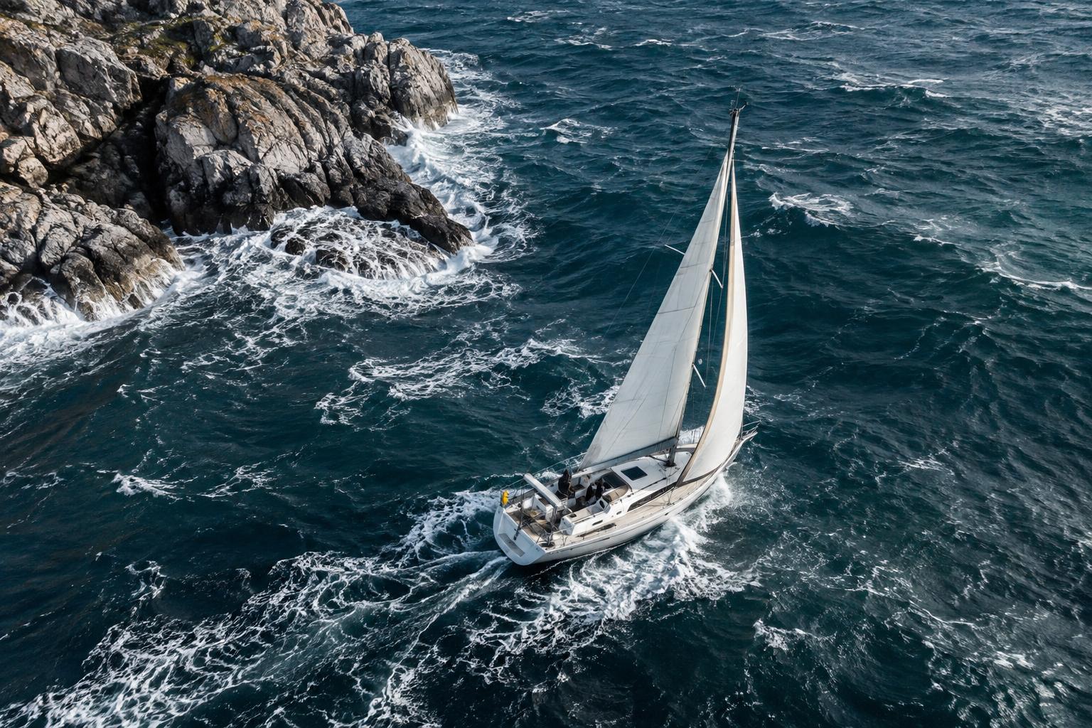
Sea state and waves: plan the passage before leaving shelter
Short, steep seas develop when wind, opposing currents, shallow water and coastal features interact. Reading the signs before setting out can help you choose a route and timing with a greater margin of safety.
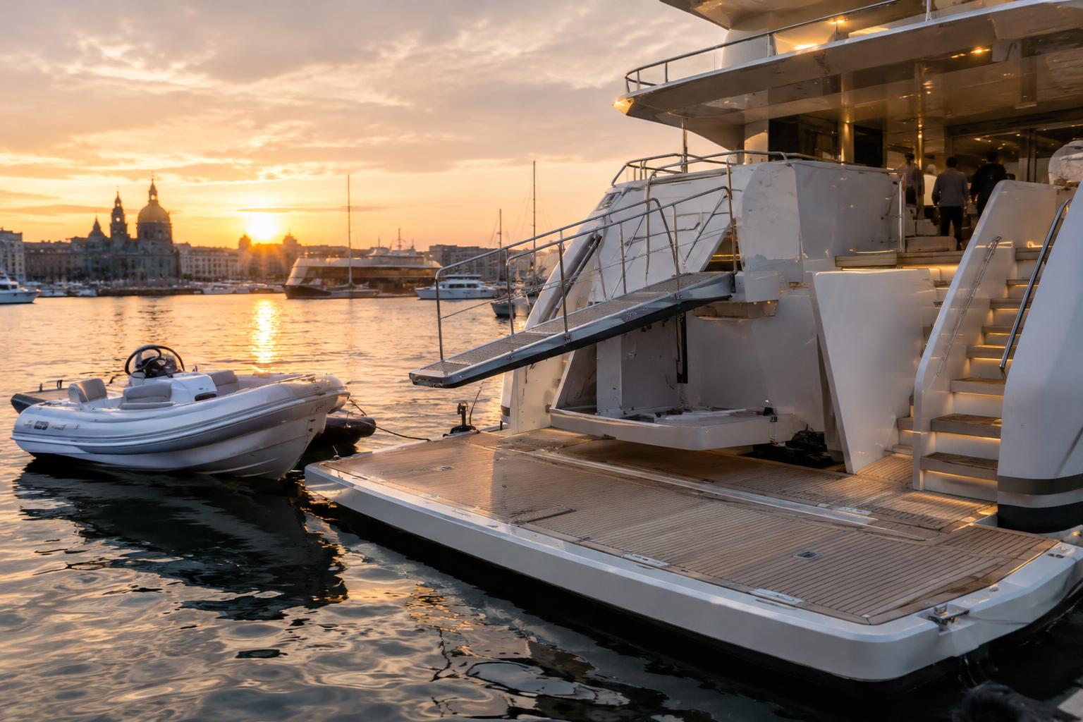
GB Mec presents EvoDeck 48V at METSTRADE in Amsterdam
The Italian manufacturer is using Amsterdam for the world premiere of EvoDeck 48V, a fully electric 48 VDC platform for the yacht and superyacht market.
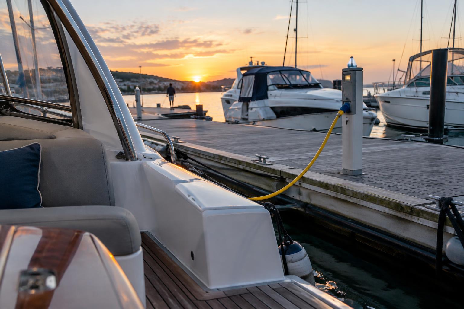
Shore power and corrosion: the risks at the dock and the protection your boat needs
Shore power can link boats through the grounding conductor and cause electrically induced corrosion. Two solutions stand out: an isolation transformer or a diode isolator.